Friday, September 7, 2007

To Clear Things Up - Map Types

Alot of people have asked in our class (And in other places) "What are the different types of maps?"; well, this is where GeoTracker come in to clear things up. Below is a number of different map types and what they mean, and what they consist of:

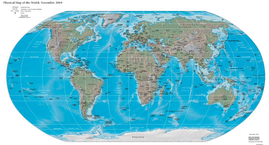
  • Physical: This map will show countries and some major mountains, mountain ranges, Oceans, Peninsulas, and etc.... It will also include Latitude and Longitude lines. Here is an example of a Physical Map:
  • Topographical Map: These maps are much more detailed and consist of alot more complex lines, elevation changes, and more. Here is an example of a Topographical Map:

Welcome to GeographyTracker!

Hello all of 8D, and welcome to GeographyTracker! Here, you will find all of the information you will need for Geography including Maps, Helpful Websites, Research, and More! If you have any questions, you can Email me at any time at geographytracker@yahoo.com. By Emailing us, we can improve our site and you can offer suggestions as to how we can go do that. Thanks, and enjoy!